Hi folks, hope all are well today!
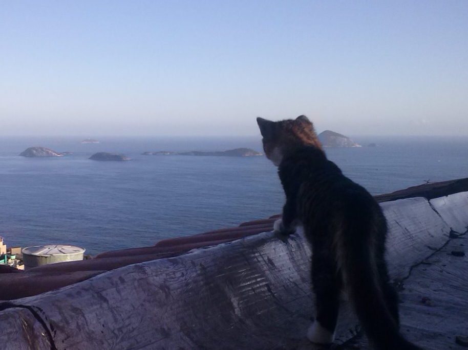
Is there a Lemmy community (or dare I say Reddit sub) that talks about finding locations from photos without meta/EXIF data?
I know there are groups that do this sort of thing for “fun”, so I thought I would ask here first… before doing random internet searches.
I have photo of a person in a location but my “tracking skills” are terrible. Best I can do is determine the country the photo was taken in.
My intent is to keep myself safe, I am not doing anything nefarious!! Just throwing that out there folks 🙂
Appreciate any and all feedback/responses. Have a great day all!
UPDATE 12/20/2024: I was able to very the info I needed without using any photos. However, I do appreciate all the responses. Maybe this post will help others.
Reddit has WhereWasThisTaken. I’m not aware of a Lemmy counterpart. You could create it though.
The reddit sub is going to delete op submissions, because he’s trying to locate the place of a person.
Good point but it depends on the backstory and age of the photo I guess, lots of photos there have people in it.
Thank you so much! Will check it out.
Maybe a GeoGuesser community
I feel like only half will be helpful, the other half have just memorized the images of the location
Is that what they call themselves… GeoGuessers? Did not know that was the terminology.
Will start a search for that, thank you so much!
Not exactly. There is a web-based game called GeoGuesser, where users are given a picture and guess where the picture was taken on a map. You get a higher score the closer you get.
One player I follow called GeoWizard makes YouTube videos of his games, as well as challenges himself to find locations of fan photos and such. Your situation sounds like the ladder. :D
On a different note, he also takes on real life challenges, such as crossing European countries in a (nearly) straight line, or traveling as far as he can with just 10 pounds in his pocket. Recommend checking out a series if you’ve got time.
Will do, that sounds really interesting!
Have you seen this?
I haven’t thrown anything at it in a while, but it was scary accurate last time I used it (getting within about 200 miles).
Interesting! I will look into this a bit more… although I may not qualify. Looks like pay to play for gov and LEOS.
Still, I appreciate it.
Trying searching for communities with “OSINT” in it. That should point you in the right direction.
Thank you for the advice. I’ll check it out!!
I have some old family photos (1940s) that I’d love to have identified. All of the folks are dead, and I can generally ID the date by the ages of the kids. In NYC, but where? If you start a community, I’ll be there.
Understood, I hope you get to identify the locations. I’m not sure I have the brain power to start something like that. If I do, or find a community, I’ll reach out and let you know.
As others mentioned, the geoguessr community has a lot of resources, but it’s largely focused on locations on streets (cause the game is built on Google streetview). Things like streetsigns can really help narrow down a country.
As someone else mentioned, Open Source Intelligence (OSInt) is what you want to be looking for. Investigative journalism sites like Bellingcat actually show their work, which is really cool. For example, they wanted to find the location of a massacre in ethiopia, so they used an app called Peak Visor to match the topology of the mountains in the background to triangulate the position. There’s also tools to use the angle of shadows and things like that. They have tutorials on their site.
Very interesting indeed! Thank you for this information… I’ll do a little research on this.
Technically you could always run it by !casualconversation@lemm.ee
This is also interesting, thank you! I will look into this!
OP already solved their problem but for others finding this thread: If you already know the country or city (or other general area), you can try asking in a community for that country or city. Few people can pinpoint locations around the world generally, but people subscribing to such communities may be able to help within that area.
Great advice!
Could always give this guy’s series a bit of a watch, viewers send in images and he tries to geolocate them: https://youtu.be/QWtQKNsA-uY
There’s some tips to be gleaned from the videos when he’s discussing his methods, but it’s not a step-by-step guide by any sense of the word.
I appreciate this… adding to the to do list for tomorrow. Thanks!!


